Is Royal Mail developing its own geo-referenced national address data set, to compete with National Address Gazetteer products such as Ordnance Survey’s AddressBase?
Following is an item from a recent e-bulletin for members of the Communications Workers Union (CWU):
Positional Data Capture Update
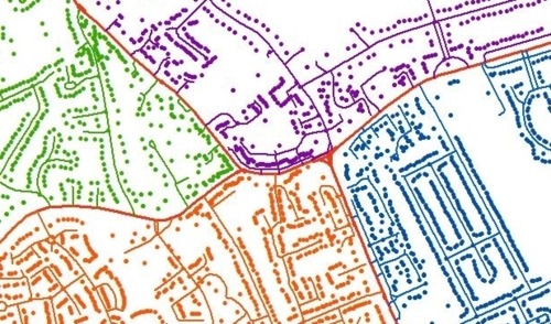
Royal Mail want to develop a new product called Positional Data Capture (PDC). This involves assigning an exact location to every address point in the country. Such information is likely to be extremely useful to mapping companies such as Google and for sat navs as it would be far more accurate than what is currently available. It is also likely to be worth a fair bit of money.
Royal Mail is the only company able to gather this information and, just as important, update it, as they are the only ones with access to every address point. The plan is to ask for between one and five OPGs [postal staff] from every DO [delivery office] to come off their duty for around three weeks and go round and capture the data using a piece of specially developed kit. Full training will be given to those who volunteer.
We are still waiting to agree the final details of how this will be done but the aim is to start the project in the Anglia Region at the beginning of July. Further information will be provided as it becomes available.
Last year Metaskil, a software services company based in Reading, revealed that it had provided project management resource for the initial phase of the project. However so far Royal Mail itself has made no public announcements.
The CWU item reads a little oddly as it seems to have been written by somebody who is unfamiliar with the existing National Address Gazetteer (NAG). Although the geo-referencing of postal delivery points in NAG isn’t perfect, it’s unlikely that a mass data capture exercise by postal staff will produce a higher quality product.
However an exercise of this type would give Royal Mail ownership of a standalone address product that it could market to customers in competition with the entry-level version of AddressBase.

Is there a market for another address data product?
The National Address Gazetteer itself is relatively new. When plans for NAG were announced in late 2010 it was with the express intention of creating “one definitive source of accurate spatial address data”. The idea was to move away from the duplication and confusion of the previous system under which local authorities and Ordnance Survey collected information separately.
When the Office of Fair Trading gave the go-ahead to NAG it recognised that the venture would create a monopoly in the market. However the OFT cited broad support from both public and private sector customers for the creation of a single database.
Local authorities, emergency services and other public bodies have comprehensive and affordable access to AddressBase under the Public Sector Mapping Agreement, so a product with fewer features from Royal Mail is unlikely to make much headway in that market.
However Ordnance Survey is vulnerable to competition in private sector markets, particularly among firms that require geo-referenced address data with national coverage. The eye-watering cost of corporate licences for AddressBase (starting at £129,950 + VAT per year) have so far been a barrier to take-up in the private sector.
In January a group of large UK companies wrote to Cabinet Office minister Francis Maude to protest the AddressBase pricing as “prohibitive for almost all potential customers”.
Royal Mail could pick up a lot of business, if it prices affordably and can demonstrate a reasonable level of data quality.
Outstanding questions
Will Royal Mail’s Positional Data Capture project produce a viable product? There are a number of unresolved questions that only Royal Mail can answer.
Royal Mail would be competing against itself to some extent. Royal Mail receives licensing revenue from AddressBase products, because they include data from Royal Mail’s Postcode Address File (PAF).
As long as the Shareholder Executive retains its influence over Royal Mail we can assume that PAF data will remain available for use in NAG and AddressBase. However the statutory requirement for Royal Mail to remain in public ownership was repealed last year. It’s possible that in future a privatised Royal Mail could improve the competitive position of its own data products by withdrawing PAF from NAG or at least negotiate higher licensing fees.
This project also suggests Royal Mail is fairly confident that Government has no intention of releasing NAG or AddressBase as ‘open data’ in the foreseeable future. The labour costs of capturing the coordinates of every postal delivery point must represent a substantial investment. I doubt Royal Mail would make that investment without some assurance from Government that it intends to maintain a commercial market for the data.
It’s also possible Royal Mail plans to go beyond simple geo-referencing of delivery points. The clever thing to do would be to use the same exercise to capture additional property attributes, such as building type and number of floors, for which there are currently no reliable sources of national data.